


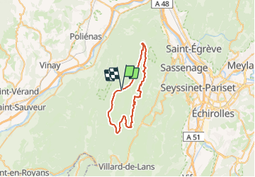

8.7 km | 12.9 km-effort


User


FREE GPS app for hiking
 SityTrail
IGN / Geographical institutes
SityTrail World
The world is yours!
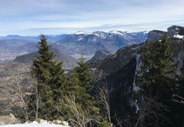
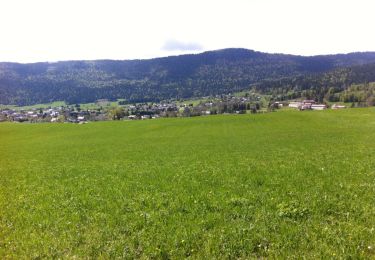
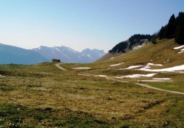
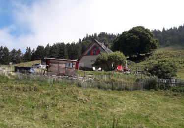
Trail Hybrid bike of 42 km to be discovered at Auvergne-Rhône-Alpes, Isère, Autrans-Méaudre en Vercors. This trail is proposed by petole.
Boucle en VTCAE début petite route jusqu’à Méaudre puis retour par les routes forestières sur la ligne de crête. Petit passage délicat caillouteux en montée mais faisable.
Snowshoes

Snowshoes
Walking
Walking
Walking
Mountain bike
Mountain bike
Walking
Walking